Brooklyn Bike Lanes: How to Read the Network Before You Ride
A practical primer on protected lanes, conventional lanes, greenways, gaps and day-of route checks across Brooklyn.
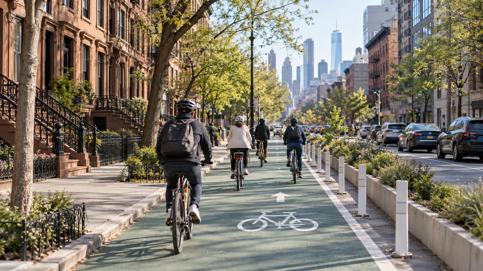
Brooklyn’s bike lane network is extensive, but reading the map and understanding the types of lanes can make a significant difference in your ride. Whether you’re commuting, running errands, or exploring, knowing how to interpret the NYC Department of Transportation (DOT) bike map and staying aware of ongoing changes helps you plan safer, more predictable routes.
This article breaks down the main types of bike facilities in Brooklyn, explains how to spot gaps and detours, and offers practical tips for checking current conditions before you head out. The goal is to help riders of all experience levels navigate the borough’s evolving bike infrastructure with confidence and caution.
Understanding the NYC DOT Bike Map
The NYC DOT bike map is the city’s official resource for cyclists. It distinguishes between several types of bike facilities:
- Protected bike lanes: Marked by solid green lines, these lanes are physically separated from traffic by barriers, parked cars, or other means.
- Conventional bike lanes: Shown as solid white lines, these are painted lanes on the street, typically without physical separation from vehicles.
- Shared lanes (sharrows): Indicated by chevrons, these streets are shared by bikes and cars, with no dedicated space for cyclists.
- Greenways: Highlighted in dark green, these are off-street paths, often in parks or along waterfronts, separated from motor vehicles.
- Bike boulevards: Marked with a distinctive symbol, these are low-traffic streets with traffic calming features to prioritize cycling.
The map is updated annually, but conditions can change between updates. Always check the map’s legend and publication date, and consider using the digital version for the most current information.
Facility Types: What They Mean for Your Ride
Each facility type offers a different experience. Protected bike lanes, such as the newly completed Ashland Place link, provide a physical buffer from traffic, which can reduce certain risks. Conventional lanes offer a dedicated space but rely on painted lines for separation. Shared lanes require cyclists to ride with traffic, which may not be comfortable for everyone, especially on busier streets.
Greenways are popular for recreational rides and family outings, as they are separated from vehicles. However, greenways can have their own challenges, such as pedestrian congestion or limited access points. Bike boulevards use traffic calming to slow vehicles, but intersections and cross traffic still require attention.
Recent Changes: The Ashland Place Corridor
In September 2026, the city announced the completion of a continuous protected bike lane along Ashland Place, forming part of a 5.5-mile corridor between Sunset Park and DUMBO. This redesign aimed to address a longstanding gap in Brooklyn’s north-south bike infrastructure. The corridor now features a mix of protected lanes and improved crossings, but riders should still check for any temporary detours or construction along the route.
While the Ashland Place link is a significant improvement, it’s important to remember that street conditions can change due to ongoing construction, utility work, or city projects. The DOT’s website and local signage provide updates, but not all changes are reflected immediately on the printed map.
Spotting Gaps and Planning Intersections
No bike network is perfectly continuous. Gaps may exist where protected lanes end, or where construction interrupts a route. Intersections can be especially complex, with turning vehicles, unclear markings, or temporary detours. When planning a ride, look for:
- Transitions between facility types: Note where a protected lane becomes a conventional lane or shared street.
- Major intersections: Check if there are dedicated bike signals, crosswalks, or markings to guide cyclists.
- Construction zones: These may force riders to merge with traffic or dismount and walk bikes on sidewalks.
If you’re unfamiliar with a particular area, consider using satellite imagery or street-level photos from mapping services to preview tricky spots. For longer rides, identify alternative routes in case of unexpected closures.
Checking for Construction and Detours
Street conditions in Brooklyn can change quickly. Construction, repaving, or utility work may close bike lanes or reroute cyclists. The NYC DOT posts construction advisories and detour information online, but not all projects are listed in real time. When possible, check the DOT’s website before your ride, and watch for posted signs or barriers on the street.
If you encounter a closed lane, follow any marked detours and avoid riding against traffic or on sidewalks where it is not permitted. If a detour is unclear, consider stopping to reassess your route or walking your bike through the affected area.
Accessibility and Practical Planning
Not all bike lanes are equally accessible. Some greenways have limited entry points or steep ramps, and construction can create barriers for riders with mobility devices or cargo bikes. If accessibility is a concern, review the map for access points and consider reaching out to local cycling organizations for up-to-date advice.
For day-of route planning, combine the DOT map with real-time navigation apps, but verify that suggested routes align with your comfort level and current street conditions. If you’re new to cycling in Brooklyn, start with shorter rides to get familiar with local traffic patterns and facility types.
Before you go
Brooklyn’s bike lane network offers a range of options, but conditions can change quickly. Review the NYC DOT bike map, check for construction updates, and plan your route with attention to facility types and intersections. Staying informed and flexible helps you navigate the borough’s evolving streets with greater confidence.